


 Français
 Deutsch
 Italiano
ACCOMMODATION IN SOUTH ADIGE
Discover the best Hotels, B&Bs and Apartments in the Mountains based on thousands of verified reviews.
WhereProvince of Bolzano, bordering Austria and Switzerland
AreasVal Gardena, Alta Badia, Pustertal, Isarco, Merano and Vinschgau, Carezza
Resorts in this guide23
Main ski areasVal Gardena 181 km · Alta Badia 130 km · Plan de Corones 125 km
Dolomiti Superski€89 per day (high season 2026/27)
AirportsBolzano · Innsbruck · Verona · Venice · Munich
Updated October 2026 · Sources: Dolomiti Superski, tourist boards (Val Gardena, Alta Badia, Kronplatz, 3 Zinnen), Südtirol Mobil, IDM South Tyrol, Wikipedia
Find a place to stay in South Tyrol
South Tyrol (Südtirol in German, Alto Adige in Italian) is the Autonomous Province of Bolzano, Italy’s northernmost province: around 7,400 km², 116 municipalities and about 544,000 people, bordering Austria and Switzerland. It is not the same as Trentino: together they form the Trentino-Alto Adige region, but they are two separate provinces, and Trentino has its own guide on this site. Most people here speak German; in Val Gardena and Val Badia many also speak Ladin.
The mountains come in two kinds. To the east and south are the Dolomites, a UNESCO World Heritage Site since 2009: Sella, Sassolungo (Langkofel), Odle (Geisler), Puez, Fanes, Catinaccio (Rosengarten), Latemar and the Sesto Dolomites. To the west and north are the Central Alps, with glaciers and the province’s highest peak, the Ortler (Ortles, 3,905 m). There are seven nature parks and part of the Stelvio National Park.
The easiest way to get your bearings is by valley. The Isarco (Eisack) valley runs from the Brenner Pass down to Bolzano, past Bressanone. From there branch off Val Gardena and Val di Funes. The Pustertal (Val Pusteria) runs east to the Austrian border, with Brunico, Plan de Corones and the Alta Pusteria; from the Pustertal, Val Badia climbs south to Alta Badia. To the west is Merano, gateway to the Vinschgau (Val Venosta) and Ultental (Val d’Ultimo). South-east of Bolzano, Val d’Ega leads to Lake Carezza.
The best mountain resorts in South Tyrol
 Val Gardena
 Ortisei
 Santa Cristina
 Selva di Val Gardena
 Seceda
 Gardena Pass
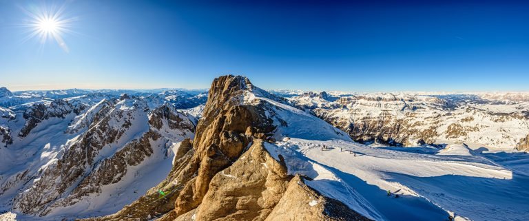 Alta Badia
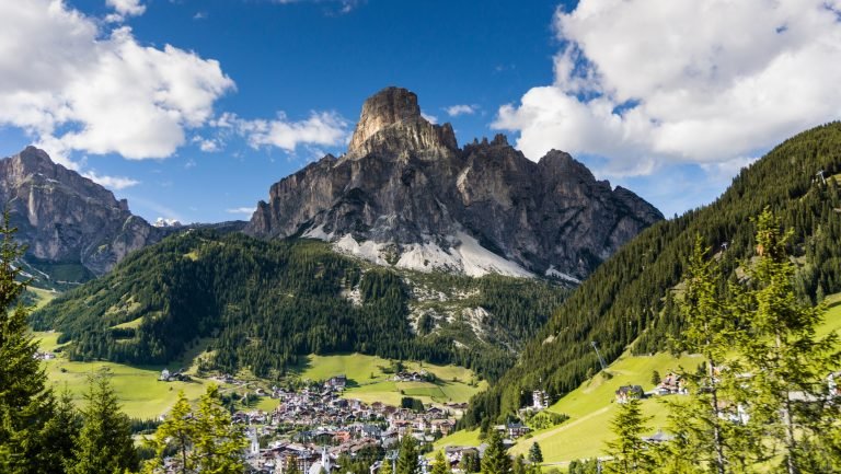 Corvara in Badia
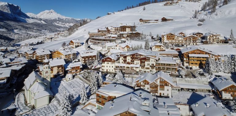 San Cassiano
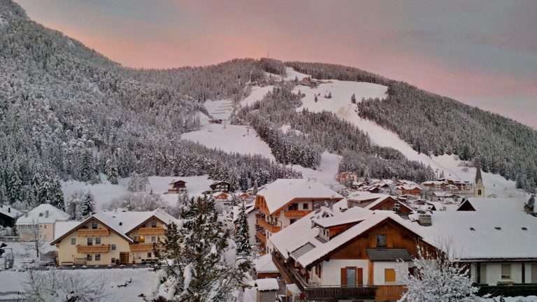 San Vigilio di Marebbe
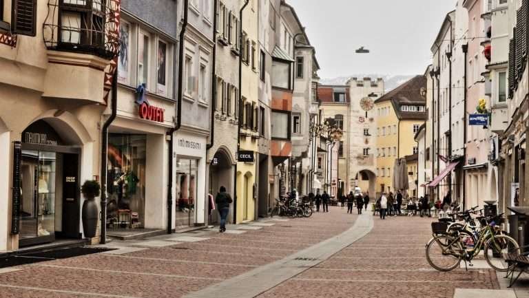 Brunico
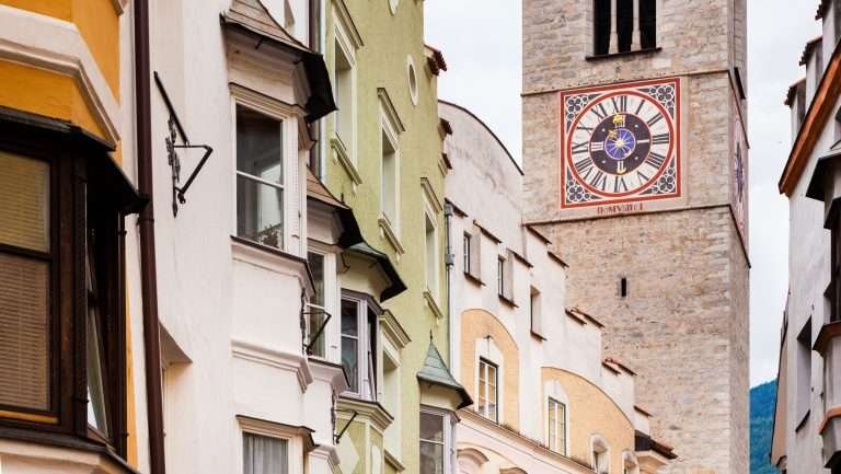 Bressanone
 Funes Valley
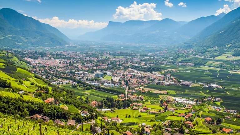 Merano
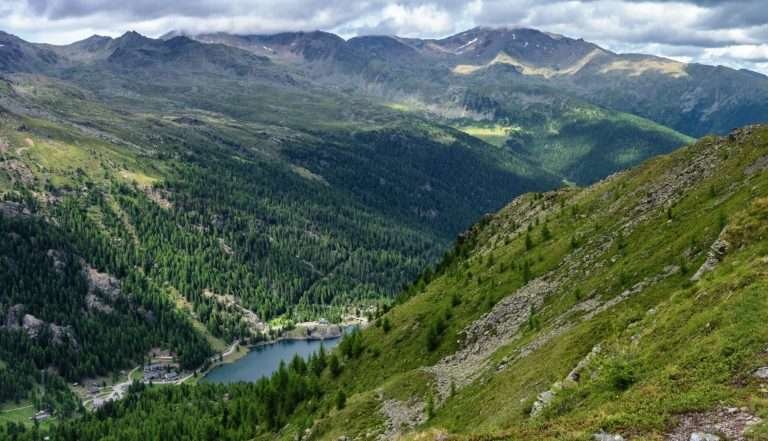 Val d’Ultimo
 Lake Resia
 Lake Carezza
 Alta Pusteria
 San Candido
 Sesto
 Toblach
 Lake Braies
 Lake Antholz
 Alpe di Siusi
 Plan de Corones
 Aurina Valley
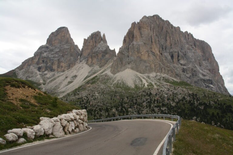 Sella Pass
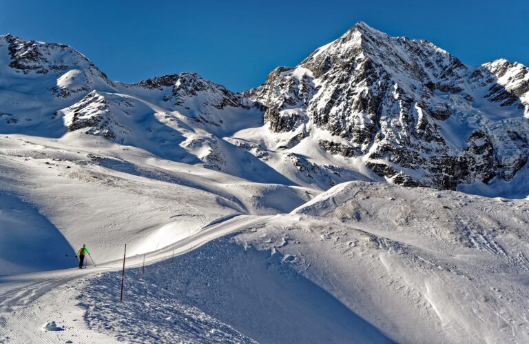 Solda
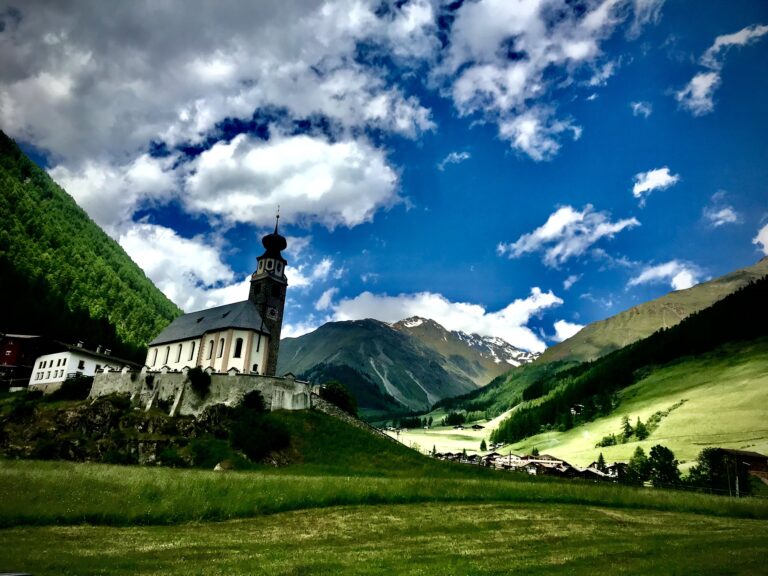 Senales Valley
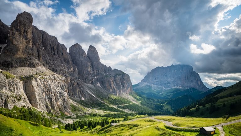
Val Gardena and around. The best-known Dolomite valley in South Tyrol, Ladin-speaking, between Sassolungo, Sella and the Odle.
Val Gardena
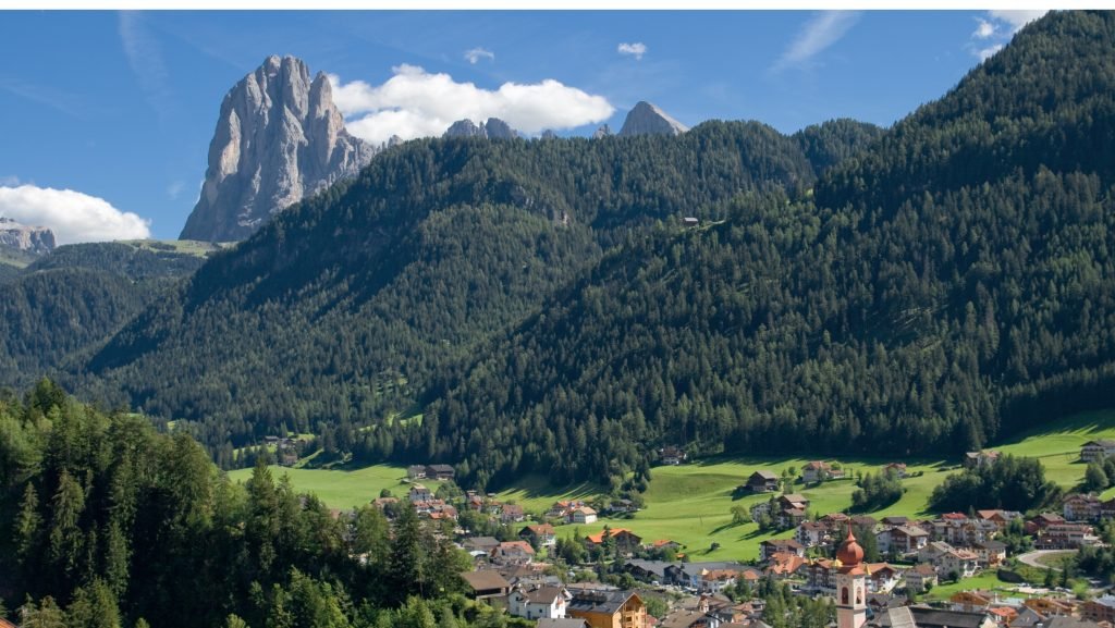
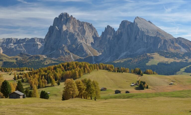
Three villages in a row: Ortisei (1,236 m), Santa Cristina (1,428 m) and Selva (1,563 m). Ladin is the mother tongue of almost nine in ten residents. Together with the Alpe di Siusi (Seiser Alm), the ski area has 181 km of slopes, and it is one of the gateways to the ski circuit around the Sella. Right for you if you want everything in one place: skiing, hikes of every level, villages that are lively all year. Full guide: Val Gardena.
Ortisei
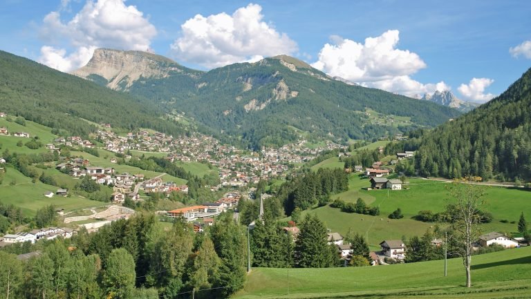
The largest village in the valley (about 4,700 people), known for wood carving. Lifts leave from here to the Seceda and the Alpe di Siusi, plus the Resciesa funicular. With shops and buses all year, it is a practical base for families and for anyone who would rather leave the car parked. Read the guide to Ortisei.
Santa Cristina
The middle village, at 1,428 m, where the Saslong World Cup downhill finishes (races on 18 and 19 December 2026). Lifts go up from here to the Col Raiser, towards the Seceda, and to Monte Pana, start of the Sassolungo circuit (17.3 km, about 5.5 hours). Quieter than Ortisei and popular with hikers. Guide: Santa Cristina.
Selva di Val Gardena
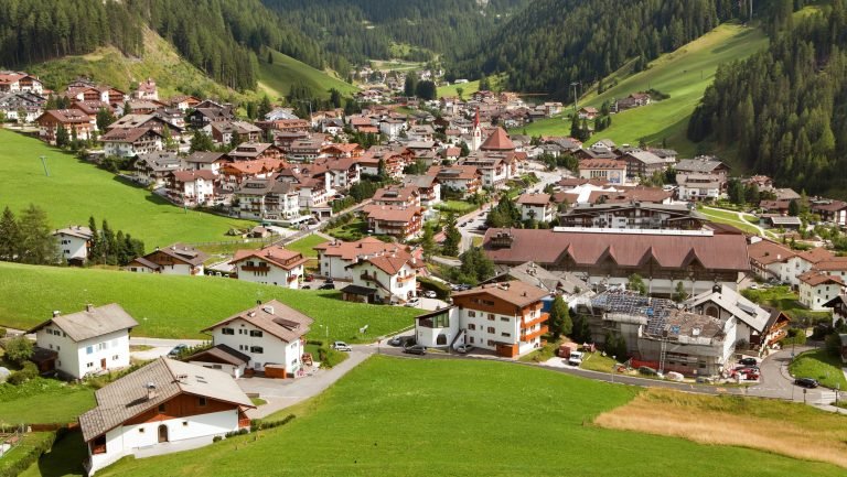
The highest village (1,563 m), at the head of the valley below the Sella. The best base for skiers: from here you join the four-pass circuit around the Sella and ride up towards the Gardena Pass. In summer, the Vallunga valley in the Puez-Odle Nature Park is an easy walk, even with children. Guide: Selva di Val Gardena.
Seceda
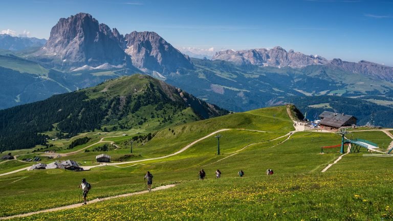
The ridge at 2,519 m above Ortisei, with one of the most photographed views of the Odle peaks in the Dolomites. You go up by gondola and cable car; in summer 2026 the ride had to be booked online in 30-minute slots (€74 return for an adult), and a €5 contribution was charged on the path to the photo spot. In winter, the La Longia run descends 10.5 km to Ortisei. Read the Seceda guide before you go.
Gardena Pass
The pass at 2,121 m between Selva and Colfosco links Val Gardena and Val Badia. In summer it is a base for via ferratas and trails in the Puez and Sella groups; on 5 June 2027 the Sella passes close to cars for the Sellaronda Bike Day. Guide: Gardena Pass.
Alta Badia. On the other side of the Gardena Pass lies the upper part of Val Badia: a Ladin valley with wide meadows and mostly easy and intermediate slopes.
Alta Badia
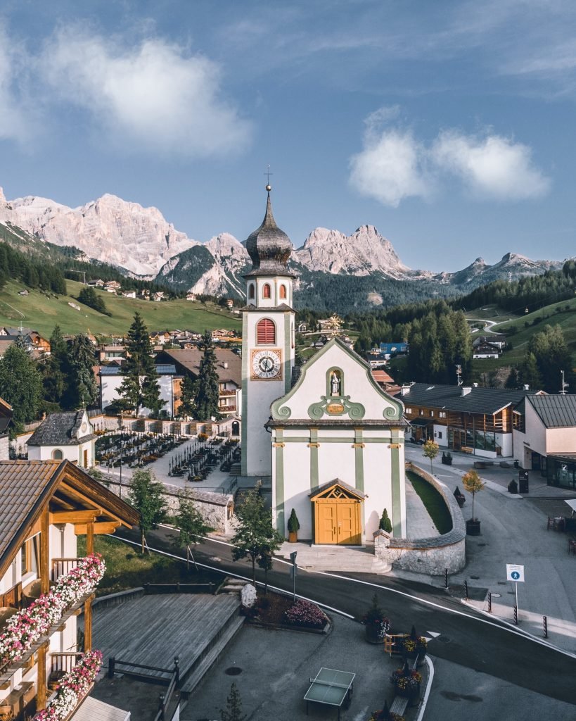
Six villages between 1,324 m (Badia) and 1,645 m (Colfosco): Corvara, Colfosco, La Villa, San Cassiano, Badia and La Val. There are 130 km of slopes, the Gran Risa World Cup run (giant slalom and slalom, 19–21 December 2026) and top-level food, including Michelin-starred restaurants. Good for families and intermediate skiers. Guide: Alta Badia.
Corvara in Badia
The main village (1,568 m), below the Sassongher, with lifts leaving from the centre towards the Sella circuit and towards Piz Boè (3,152 m), the highest summit of the Sella group. On 4 July 2027 it hosts the finish of the Maratona dles Dolomites cycling race. The right choice if you want to ski a lot without driving. Guide: Corvara in Badia.
San Cassiano
Smaller and quieter (1,537 m), below the Lavarella and Conturines peaks, on the edge of the Fanes-Senes-Braies Nature Park. It is the start of the Lagazuoi tour with the Armentarola run, and it has a 26 km cross-country centre. For those who want peace, cross-country skiing and First World War history. Guide: San Cassiano.
Pustertal (Val Pusteria). The long valley heading towards Austria: Plan de Corones (Kronplatz) in the west, Brunico in the middle, the Alta Pusteria and the Sesto Dolomites in the east.
San Vigilio di Marebbe
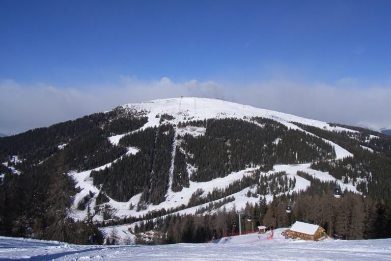
A Ladin village at 1,201 m in the side valley of Marebbe, at the foot of Plan de Corones (2,275 m, 125 km of slopes). Gondolas climb the steepest side of the ski area; in summer you head into the Fanes-Senes-Braies Nature Park towards Pederü and the Fanes huts. For families who want a small village next to a big ski area. Guide: San Vigilio di Marebbe.
Brunico
The town of the Pustertal (838 m, about 17,000 people), with its main street, a castle housing a Reinhold Messner museum, and a railway station. From Riscone a gondola takes you up Plan de Corones. The right base if you travel by train. Guide: Brunico.
Lake Anterselva
At the end of the Anterselva valley, at 1,642 m, this is the third-largest natural lake in South Tyrol. The lakeshore loop is 3.4 km and easy. Next to it is the biathlon stadium of the 2026 Winter Olympics; in summer, parking costs €10 a day. Guide: Lake Anterselva.
Alta Pusteria
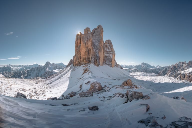
The eastern end of the Pustertal: five municipalities between 1,158 and 1,310 m (Villabassa, Braies, Dobbiaco, San Candido and Sesto), the 3 Zinnen Dolomites ski area (about 115 km of slopes) and around 200 km of cross-country trails. In summer: the Three Peaks (Tre Cime), Lake Braies and the Drava cycle path. Guide: Alta Pusteria.
San Candido
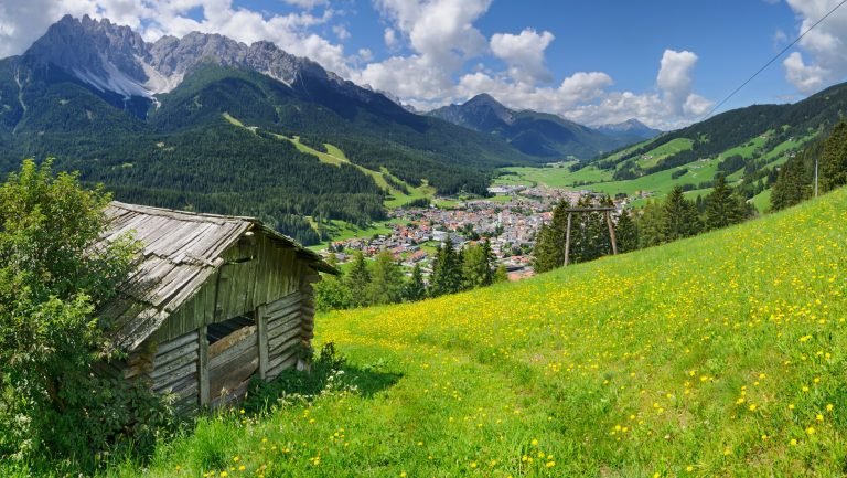
The main village of the Alta Pusteria (1,175 m), with its Romanesque collegiate church and the terminus of the Pustertal railway. Monte Baranci, above the village, is an easy family ski area. The Drava cycle path to Lienz in Austria starts here (44.8 km, almost all downhill). Guide: San Candido.
Sesto
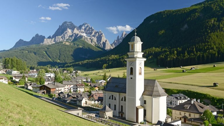
The easternmost municipality in South Tyrol (1,310 m), facing the Sesto Dolomites and the “sundial” of peaks that mark the hours with the sun. From Val Fiscalina you hike towards the Three Peaks; in winter you ski on Monte Elmo and Croda Rossa. For hikers and families who want quiet. Guide: Sesto.
Dobbiaco
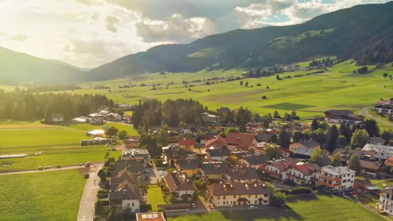
The crossroads of the Alta Pusteria (1,256 m): the road to Cortina, the summer shuttle to the Three Peaks and the bus to Lake Braies all start here. It is a cross-country skiing centre (Dobbiaco–Cortina Granfondo on 6 and 7 February 2027) and Gustav Mahler’s summer retreat. Guide: Dobbiaco.
Lake Braies
South Tyrol’s most famous lake, at 1,494 m, below the Croda del Becco. The loop is 3.6 km, about an hour. In 2026, from 1 July to 15 September between 9am and 4pm, the valley could only be reached with a booking or by bus; the 2027 rules come out in spring. Read the Lake Braies guide before you go.
Isarco valley. The valley on the Brenner route.
Bressanone
South Tyrol’s third-largest town (559 m, about 23,000 people), with its cathedral, frescoed cloister and Bishop’s Palace. A few kilometres away are Novacella Abbey and the Plose, the local mountain, with about 40 km of slopes and a toboggan run of about 9 km. On the Brenner railway, it is the ideal car-free base. Guide: Bressanone.
Val di Funes
A side valley facing the Odle peaks, with Sass Rigais at 3,025 m. The little churches of Santa Maddalena and San Giovanni in Ranui are among the best-known images of the Dolomites. Buses run from Bressanone. No big ski area: this is a valley for walking and quiet. Guide: Val di Funes.
Merano and the Vinschgau. Western South Tyrol: a spa town in the valley, the Central Alps and the Stelvio National Park above.
Merano
Spa town at 325 m and South Tyrol’s second-largest town (about 42,000 people): thermal baths, the Gardens of Trauttmansdorff Castle, promenades along the Passirio river. Above town, Merano 2000 has about 40 km of slopes a few minutes from the centre. Ideal for combining mountains, town life and wellness. Guide: Merano.
Val d’Ultimo (Ultental)
A valley about 40 km long starting at Lana, near Merano, with scattered farms, ancient larches and its upper end in the Stelvio National Park. In winter there is the small Schwemmalm ski area (about 25 km). For travellers who want real peace, away from the crowds. Guide: Val d’Ultimo.
Lake Resia (Reschensee)
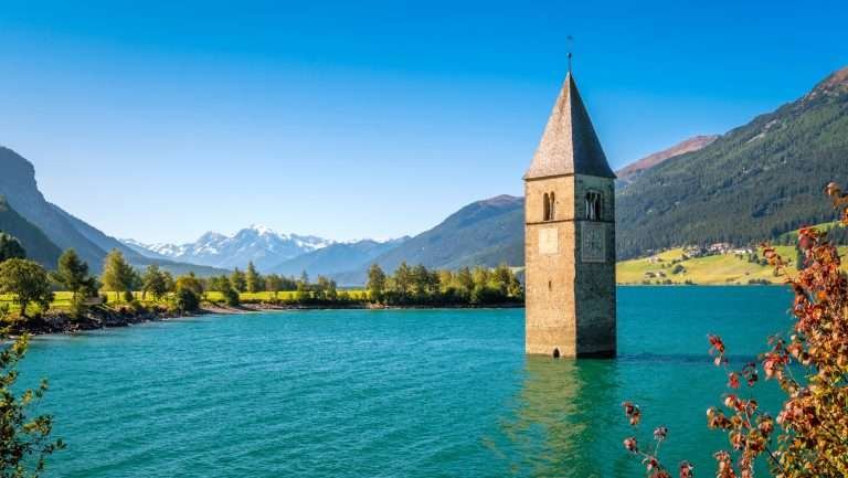
At the top of the Vinschgau, at 1,498 m, close to the Austrian and Swiss borders. It is a reservoir from 1950: the bell tower of the old village of Curon rises out of the water. The loop around the lake is 15.3 km and almost flat, great by bike. Guide: Lake Resia.
Carezza Dolomites. The area closest to Bolzano, in Val d’Ega between Catinaccio and Latemar.
Lake Carezza
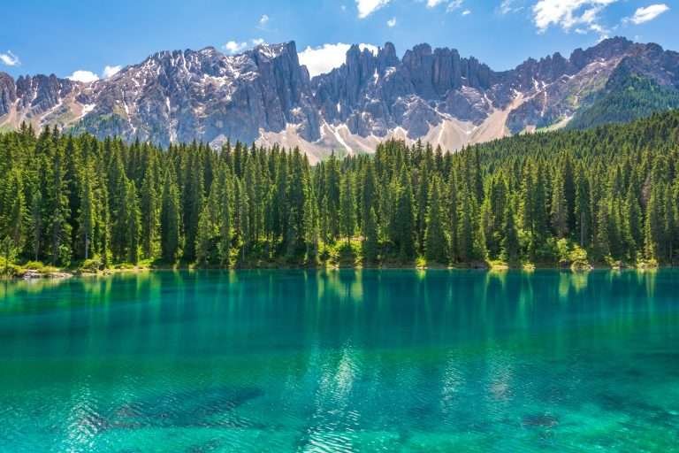
A small green-and-blue lake at 1,520 m reflecting the Latemar, about 26 km from Bolzano. The short loop is 1.3 km, about 20 minutes. In winter, the Carezza ski area is right above it. The easiest trip from Bolzano, by bus too. Guide: Lake Carezza.
Skiing in South Tyrol
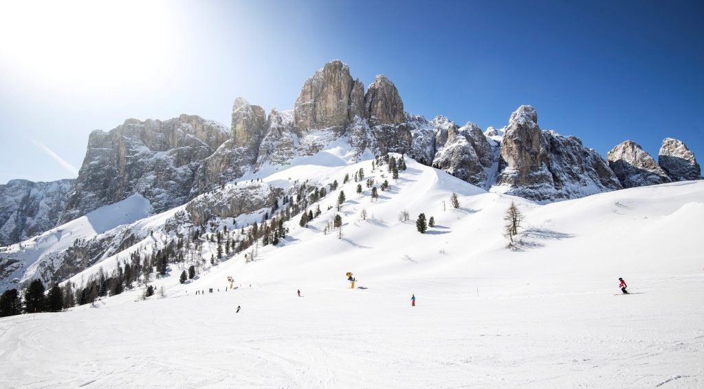
Almost all the big ski areas in South Tyrol belong to Dolomiti Superski: 12 ski areas and about 1,200 km of slopes on a single pass. For the 2026/27 season, an adult day pass in high season costs €89, and six days €453. Each area also sells its own local passes: prices on the official websites.
- Val Gardena and Alpe di Siusi: 181 km, from 4 December 2026 to 4 April 2027. Slopes for everyone, from the Saslong to the beginner-friendly Alpe di Siusi.
- Alta Badia: 130 km, same dates. Lots of blue and red runs, ideal for families and for touring on skis.
- Plan de Corones (Kronplatz): 125 km, from 28 November 2026 to 11 April 2027. One mountain with runs on every side, reached from Brunico, Valdaora and San Vigilio.
- 3 Zinnen Dolomites (Alta Pusteria): about 115 km on five mountains; a new gondola from Versciaco to Monte Elmo is planned for this winter.
- Plose (Bressanone): about 40 km, from 5 December 2026 to 4 April 2027, with a long run down to the valley.
- Carezza: 13 lifts between the lake and the Costalunga Pass, opening on 4 December 2026.
- Outside Dolomiti Superski: Merano 2000 (about 40 km, from 27 November 2026 to 29 March 2027) and the Schwemmalm in Val d’Ultimo (about 25 km), with their own passes.
To clock up the kilometres, stay in Selva or Corvara on the four-pass circuit around the Sella. For cross-country skiing, choose the Alta Pusteria (about 200 km) or San Cassiano.
South Tyrol in summer

Summer is hiking season. The classic routes: the Sassolungo circuit from Monte Pana (17.3 km, about 5.5 hours), the Seceda ridge, the Vallunga at Selva, the Santa Croce sanctuary above Badia, the Fanes huts from Pederü, Val Fiscalina at Sesto and the trails below the Odle in Val di Funes.
The most famous spots have access rules. In 2026 the Seceda lifts had to be booked online, the Braies valley was regulated from 1 July to 15 September, and the road to the Three Peaks (Auronzo hut) was a toll road with advance booking; a shuttle bus from Dobbiaco also required a booking. The 2027 rules have not been published yet: check them before you travel.
By bike, the Drava cycle path from San Candido to Lienz (44.8 km) is easy, and you can come back by train. The loop around Lake Resia is almost flat. The passes around the Sella close to cars for the Sellaronda Bike Day on 5 June 2027.
Mountain lakes in South Tyrol
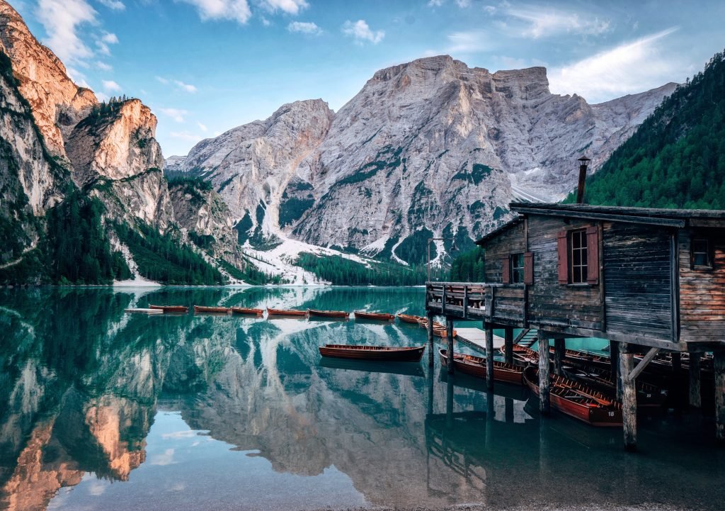
All the lakes below are in the province of Bolzano (Trentino’s lakes are in the Trentino guide).
- Lake Braies (1,494 m): the most famous, 3.6 km loop; regulated access in summer. Guide.
- Lake Carezza (1,520 m): small, below the Latemar, about 26 km from Bolzano; paid parking right next to it. Guide.
- Lake Anterselva (1,642 m): the third-largest natural lake in South Tyrol, easy 3.4 km loop. Guide.
- Lake Resia (1,498 m): reservoir with the submerged bell tower, 15.3 km loop. Guide.
- Lake Dobbiaco (1,259 m) and Lake Landro (1,406 m): on the road from Dobbiaco to Cortina, easy to reach. Dobbiaco.
- Lake Zoccolo (1,141 m) and Lake Fontana Bianca (1,872 m) in Val d’Ultimo: the loop around the first is 7.7 km and pushchair-friendly. Val d’Ultimo.
Swimming in Lake Braies is discouraged. In winter, only walk on frozen lakes where and when it is allowed: Lake Anterselva, for example, is only opened once the ice is thick enough.
How to choose the right resort
- Families: Ortisei and Santa Cristina (Alpe di Siusi, easy walks), Alta Badia, San Vigilio, San Candido.
- Expert skiers: Selva and Corvara for the Sella circuit, San Vigilio for the black runs on Plan de Corones.
- No car: Bressanone, Brunico, Merano, San Candido and Dobbiaco, all with a station; Ortisei by bus from Bolzano and Bressanone.
- Budget: avoid Christmas, February and August, and look at valleys away from the big ski circuits, such as Val d’Ultimo or Val di Funes, or at the towns.
- Luxury and food: Alta Badia (Corvara, Badia, San Cassiano) and Val Gardena.
- Nature and quiet: Val di Funes, Val d’Ultimo, Sesto, San Cassiano.
Where to stay in South Tyrol
Choose your area based on what you plan to do: the valleys are long and moving from one to another takes time.
- Lots of skiing: Selva, Corvara, Colfosco, close to the Sella circuit lifts.
- Families: Ortisei and Santa Cristina, the Alta Badia villages, San Vigilio, San Candido. For a week, apartments are practical.
- Hiking: Val Gardena and Alta Badia with the lifts; Sesto and Val di Funes to set off on foot from the village.
- No car: Bressanone, Brunico, Merano, San Candido, Dobbiaco, near the station.
- Spending less: farm stays, agriturismi and B&Bs in the side valleys. In high season some places ask for a minimum stay: book early.
How to get to South Tyrol
By air: the closest airport is Bolzano, about 40 km from Val Gardena, with few and mostly seasonal flights. Innsbruck is about 86 km from Bressanone and Munich about 300 km from Val Gardena. Verona (about 180–200 km from Merano and Bressanone), Venice and Treviso (handy for the Alta Pusteria and Alta Badia) are the other options. Shared airport transfers (AltoAdigeBus) run from Innsbruck, Munich, Verona, Bergamo, Milan Malpensa, Venice and Treviso.
By train: the Brenner line links Munich, Innsbruck, Bressanone, Bolzano and Verona, with EuroCity trains between Munich and Verona. At Fortezza the Pustertal line branches off to San Candido (stops at Brunico, Valdaora, Monguelfo, Villabassa and Dobbiaco). Between Bolzano and Merano there is a train every 30 minutes on weekdays. For Val Gardena there is also FRECCIALink, a combined train and bus ticket.
By bus: the valleys are served by Südtirol Mobil. Useful lines: 350 to Val Gardena, 460 from Brunico to Val Badia, 330 from Bressanone to Val di Funes, 180 from Bolzano to Carezza, 431 from Valdaora to Anterselva, 245 from Merano to Val d’Ultimo.
By car: the A22 Brenner motorway crosses the province from north to south. Main exits: Bressanone (for the Pustertal and Val Badia), Chiusa/Val Gardena (for Val Gardena and Val di Funes), Bolzano Nord (for Val d’Ega and Carezza) and Bolzano Sud (for Merano). From Austria you can also come in over the Reschen Pass (Vinschgau) or from Lienz (Alta Pusteria). Austrian motorways need a vignette. In winter, carry winter tyres or snow chains.
Frequently asked questions about South Tyrol
Where is South Tyrol? Is it part of Trentino?
It is the Autonomous Province of Bolzano, in Italy’s far north, bordering Austria and Switzerland. Together with Trentino it forms the Trentino-Alto Adige region, but it is a separate province.
What are the main valleys of South Tyrol?
The Isarco valley, Pustertal, Vinschgau, Val Gardena, Val Badia, Val di Funes, Val d’Ega and Val d’Ultimo, plus the Adige valley between Merano and Bolzano.
What is the highest mountain in South Tyrol?
The Ortler (Ortles), 3,905 m, in the Stelvio National Park above the Vinschgau.
Where is the best skiing in South Tyrol?
The largest areas are Val Gardena with Alpe di Siusi (181 km), Alta Badia (130 km), Plan de Corones (125 km) and 3 Zinnen Dolomites (about 115 km), all part of Dolomiti Superski.
How much is the Dolomiti Superski pass in 2026/27?
€89 for an adult day pass in high season, €453 for six days.
What are the most beautiful lakes in South Tyrol?
Braies, Carezza, Anterselva and Resia are the most visited. Access to Lake Braies is regulated in summer.
Can you visit South Tyrol without a car?
Yes. Bressanone, Brunico, Merano, San Candido and Dobbiaco have train stations; Val Gardena, Val Badia, Val di Funes and Carezza are reached by bus.
Do you need to book the Seceda, Lake Braies and the Three Peaks?
In 2026, yes: time slots for the Seceda lifts, the Braies valley from 1 July to 15 September, and the road and shuttle to the Auronzo hut. The 2027 rules have not been published yet.
When is the best time to visit South Tyrol?
December to early April for skiing, June to September for high-altitude hiking. In autumn many lifts and huts close.
What language is spoken in South Tyrol?
German and Italian are both official, and most people speak German. In Val Gardena and Val Badia, Ladin is spoken too.


