


 Français
 Deutsch
 Italiano
ACCOMMODATION IN AOSTA VALLEY
Discover the best Hotels, B&Bs and Apartments in the Mountains based on thousands of verified reviews.
AreasMont Blanc · Matterhorn · Monte Rosa · Gran Paradiso
Ski areasMatterhorn Ski Paradise 360 km · Espace San Bernardo 156 km
Resorts in this guide10 dedicated pages
AirportsGeneva · Turin Caselle · Milan Malpensa
Ski season24 Oct 2026 (Cervinia) to 2 May 2027
Who forskiers, families, hikers, climbers
Updated October 2026 · Sources: Aosta Valley Region (lovevda.it), Courmayeur Mont Blanc Funivie, Cervino SpA, Monterosa Ski, Espace San Bernardo, Chamois Servizi, CAI, RFI, Arriva, VITA
Find a place to stay in the Aosta Valley
The Aosta Valley is the Italian region with the highest mountains in the country. On its borders stand Mont Blanc (4,805.59 metres in the latest published survey, from 2023), Monte Rosa and the Matterhorn (4,478 m); in the middle is the Gran Paradiso (4,061 m). The mountains belong to two ranges of the Western Alps: the Graian Alps to the south and west and the Pennine Alps to the north. The region covers about 3,260 km², has just over 120,000 inhabitants and two official languages, Italian and French.
The layout is simple. One main valley, along the Dora Baltea river, climbs from Pont-Saint-Martin to Aosta and on to Courmayeur. Side valleys branch off it, each with its own mountain: the Valdigne under Mont Blanc at the far end, the Valtournenche under the Matterhorn to the north, the Ayas and Gressoney valleys under Monte Rosa to the east, and the Gran Paradiso valleys with Cogne to the south. Aosta and Pila sit in the middle. The A5 motorway runs up the main valley and each exit leads to a different area.
In winter you get big ski areas linked to Switzerland and France, plus small, quiet resorts for families. In summer you hike: mountain huts, lakes, glaciers up close, a national park and long multi-day treks such as the Tour du Mont Blanc and the Monte Rosa Tour.
In questa guida
The best mountain resorts in the Aosta Valley
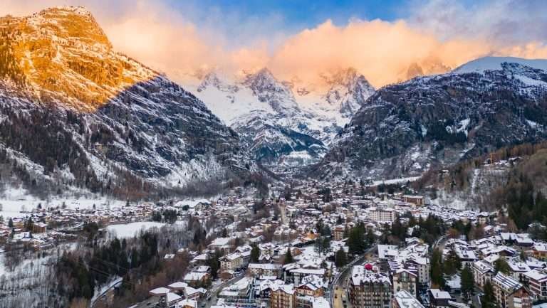 Courmayeur
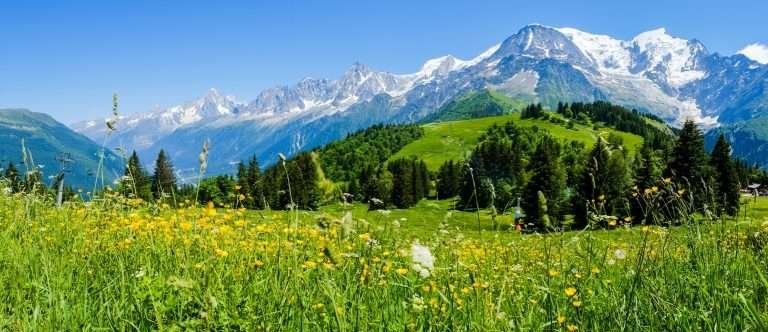 Mont Blanc
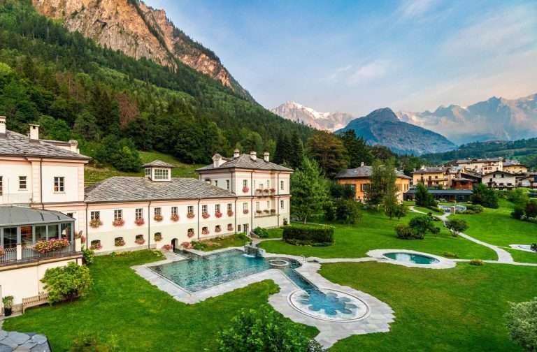 Pré-Saint-Didier
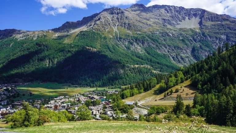 La Thuile
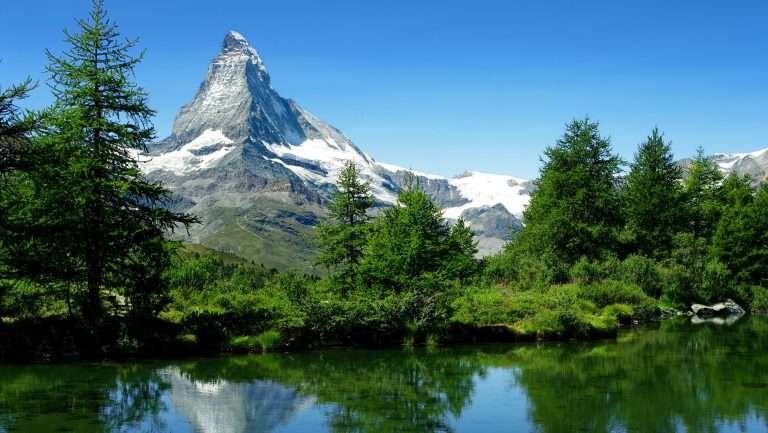 Cervinia
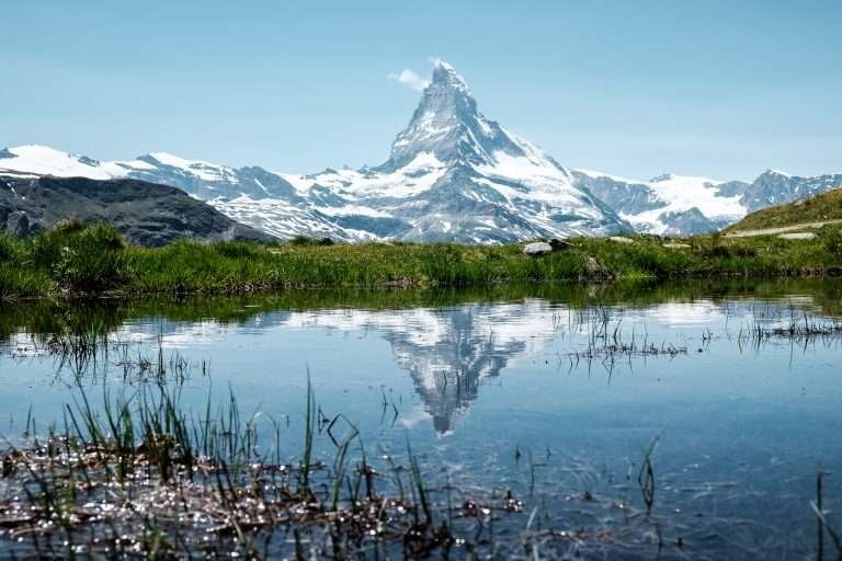 Matterhorn
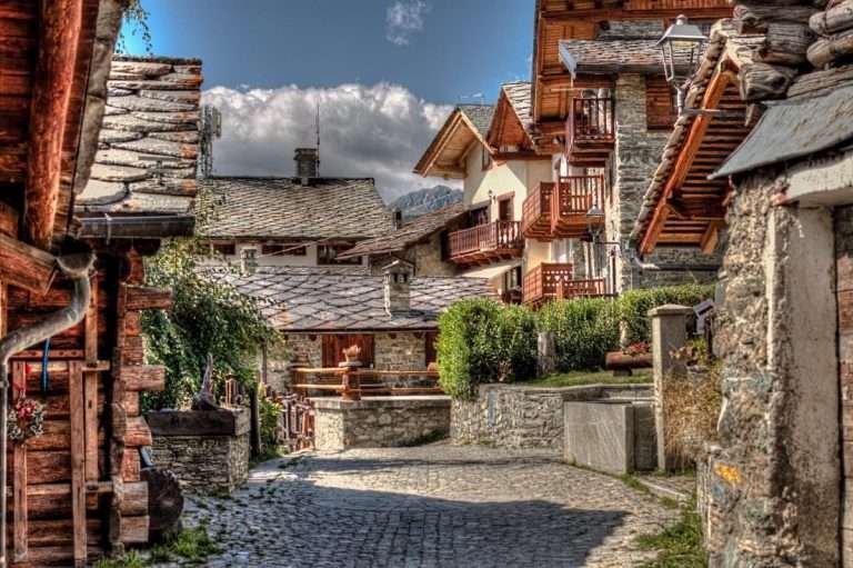 Chamois
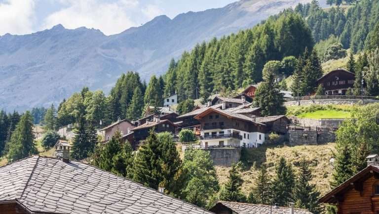 Champoluc
 Gressoney
 Monte Rosa
 Cogne
Resorts are grouped by area, from west to east. For each one you will see who it suits; the details are in the dedicated guides.
Courmayeur
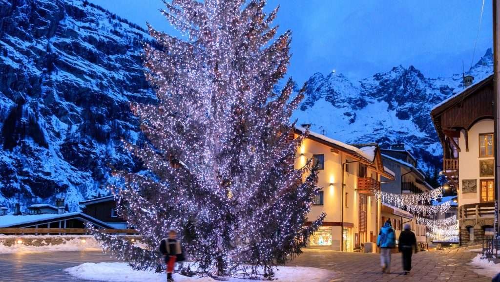
At 1,224 metres, at the foot of the Italian side of Mont Blanc, about 35 km from Aosta and around 20 km from Chamonix through the tunnel. It has a pedestrian centre, the oldest mountain guides’ association in Italy (1850) and the Skyway cable car up to Punta Helbronner at 3,466 metres. Good for skiing and hiking in the same trip, for high mountain outings with a guide and for a lively village in the evening. Read the guide to Courmayeur.
Mont Blanc
The highest mountain in the Alps, on the border with France. From the Italian side you get close with the Skyway and from the Val Veny and Val Ferret. Climbing to the summit takes high-altitude experience and usually a guide; on the French normal route a hut booking is compulsory. Height, climbing, the Vallée Blanche and the Tour du Mont Blanc are covered on the Mont Blanc page.
Pré-Saint-Didier
At 1,004 metres, about 5–6 km from Courmayeur. No ski lifts here: the village is known for its thermal spa, with outdoor pools facing the Mont Blanc range, and for its gorge with a cantilevered walkway 160 metres above the stream. The spa does not admit under-14s. Good for couples, for combining skiing and wellness, and for staying in a small village a few minutes from Courmayeur. Full guide: Pré-Saint-Didier.
La Thuile
At 1,441 metres, on the road to the Little St Bernard Pass. The slopes start in the village and belong to the Espace San Bernardo, shared with La Rosière in France: 156 km and 83 runs, up to 2,800 metres. In summer: the Rutor waterfalls and Lake Verney. Good for plenty of kilometres on a cheaper lift pass than Courmayeur’s and for skiing in two countries. Read the guide to La Thuile.
Going from Mont Blanc to the Matterhorn means crossing the whole central valley: Courmayeur to Cervinia is almost 90 km.
Cervinia
Breuil-Cervinia is a village of the Valtournenche municipality at 2,050 metres, below the south face of the Matterhorn. It is the highest resort in this guide and has the longest season: in 2026/27 you ski from 24 October to 2 May. The slopes link with Zermatt in the Matterhorn Ski Paradise (360 km), and the Ventina run drops about 11 km from the Plateau Rosà (3,480 m). Good for skiers who want mileage and snow into spring; less so if you want a historic village. Full details in the guide to Cervinia.
Matterhorn (Monte Cervino)
The Matterhorn (4,478 m) stands on the Italy–Switzerland border. It was first climbed on 14 July 1865 from the Swiss side; three days later Jean-Antoine Carrel and Jean-Baptiste Bich reached the top from the Italian side. To see it without climbing, walk to the Lago Blu near Cervinia or take the cable cars to the Plateau Rosà. History, routes and viewpoints on the Matterhorn page.
Chamois
At 1,815 metres, on the right-hand side of the Valtournenche. It is the only municipality on the Italian mainland that cannot be reached by car: you park at Buisson and ride the cable car up in about 6 minutes, or walk from La Magdeleine in about an hour. There is a small ski area (14–16 km depending on the source) with a cheap lift pass, and Lake Lod at 2,020 metres. Good for families with small children and anyone after peace and quiet. Read the guide to Chamois.
Further east, Monte Rosa towers over two parallel valleys, Ayas and Gressoney, linked on skis in the Monterosa Ski area.
Champoluc
Champoluc is a village of the Ayas municipality at 1,568 metres, about 28 km from the Verrès motorway exit. From the village the gondola climbs to Crest, and from there the lifts lead towards Gressoney. In summer: Walser hamlets such as Mascognaz, the Lago Blu below the Rocca di Verra and the Pian Villy woods, suitable for pushchairs. Good for families and for anyone who likes a compact mountain village. Full guide: Champoluc.
Gressoney
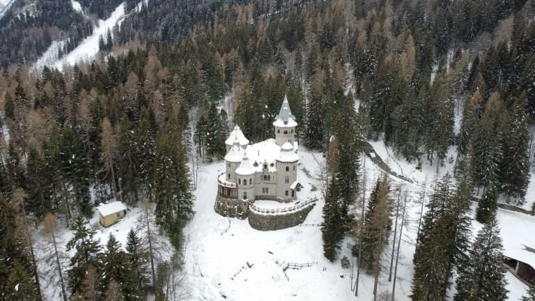
Gressoney is not a town but a valley with two municipalities: Gressoney-Saint-Jean (1,385 m) and Gressoney-La-Trinité (about 1,630 m), plus the hamlet of Stafal (1,822 m) at the lift base. It is Walser country: settlers who came from the Swiss Valais more than eight centuries ago, with their own dialect, Titsch. Saint-Jean has Queen Margherita’s Castel Savoia and about 22 km of cross-country trails. Skiers stay in La-Trinité or Stafal, families and cross-country skiers in Saint-Jean. Read the guide to Gressoney.
Monte Rosa
Not a single peak but a massif with more than ten summits above 4,000 metres. The highest, the Dufourspitze (4,634 m), is in Switzerland; on the Italian side stands the Capanna Regina Margherita, at 4,554 metres the highest mountain hut in Europe. From Ayas and Gressoney the lifts go up to Punta Indren at 3,275 metres. Peaks, huts and the Monte Rosa Tour on the Monte Rosa page.
The following areas do not have their own guide on this site yet, but they are worth the trip.
Gran Paradiso and Cogne
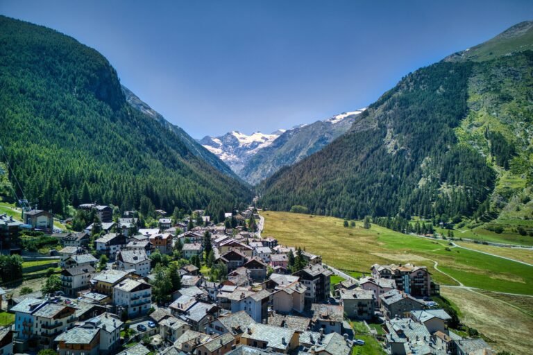
Gran Paradiso National Park was created by decree on 3 December 1922 from the Savoy royal hunting reserve, set up in 1856 to save the ibex. It covers about 71,000 hectares between the Aosta Valley and Piedmont and is, together with the Abruzzo park, the oldest national park in Italy. Cogne (1,534 m, 26.5 km from Aosta) is the easiest base: the Sant’Orso meadows, where building is banned, the Lillaz waterfalls (three drops totalling about 150 metres, around 40 minutes on foot from Lillaz) and about 80 km of cross-country trails. Downhill skiing is limited to a small 9 km area. The right choice for nature, wildlife, cross-country skiing and families who like to walk.
Aosta and Pila
Aosta was founded by the Romans in 25 BC as Augusta Praetoria: in the centre you still see the Porta Praetoria, the Arch of Augustus, the 22-metre facade of the Roman theatre and much of the city walls. From the square behind the railway station, a gondola climbs in 18 minutes to Pila, the city’s ski area: about 70 km of runs between 1,500 and almost 2,800 metres, with a second gondola up to the Stella at 2,723 metres since December 2025. The right base if you travel without a car or want to mix skiing and sightseeing.
Valpelline
The Valpelline runs north from Aosta towards Switzerland and is one of the quietest valleys. At its head is the 155-metre Place Moulin dam; according to the Region, its lake is the largest reservoir in the Aosta Valley. A dirt road closed to cars follows the shore, good for an easy walk.
Skiing in the Aosta Valley
There are five main ski areas. To choose, think about your level, how many days you will ski and whether you want to cross valleys (or borders) on skis.
- Matterhorn Ski Paradise (Cervinia, Valtournenche, Zermatt): 360 km and 52 lifts, up to 3,899 metres. At Breuil-Cervinia from 24 October 2026 to 2 May 2027. Day pass Cervinia + Valtournenche €64, International with Zermatt €88 (bought in Italy). Bring a valid passport or ID card for Switzerland.
- Monterosa Ski 3 Valleys (Champoluc, Gressoney, Alagna): over 100 km according to the Region, up to 3,275 metres. From 28 November 2026 to 11 April 2027. In mid-October 2026/27 prices had not yet been published.
- Espace San Bernardo (La Thuile and La Rosière): 156 km, 83 runs, 37 lifts, from 28 November 2026 to 11 April 2027. Day pass €61 according to the Region. The link to France usually opens from mid-December to mid-April.
- Courmayeur Mont Blanc: 33 runs, 42.4 km, up to 2,755 metres, from 28 November 2026 to 11 April 2027. Adult day pass €75. Freeride routes start from the Skyway, to be done with a guide.
- Pila: about 70 km above Aosta, by gondola straight from town.
Small areas suit beginners and cost less: Chamois (€25.50 on weekdays, €30.50 on holidays and in high season), the Weissmatten at Gressoney-Saint-Jean, Cogne. For cross-country skiing, remember Cogne (about 80 km), Gressoney-Saint-Jean (about 22 km) and Courmayeur’s Val Ferret. In Italy third-party liability insurance is compulsory on the slopes and helmets are compulsory up to age 18.
Summer in the Aosta Valley
The classic hikes are linked to the big mountains, and nearly all are day trips.
- Mont Blanc: the Rifugio Bonatti in the Val Ferret (about an hour from Lavachey), Lake Miage in the Val Veny, the Skyway. Courmayeur is a stage of the Tour du Mont Blanc (about 170 km through three countries); on the French side new accommodation rules start in 2027.
- Matterhorn: the Lago Blu, the Gran Balconata del Cervino between Chamois, La Magdeleine and Cheneil, the Plateau Rosà by cable car.
- Monte Rosa: Walser villages in Ayas and Gressoney and the Monte Rosa Tour, over 150 km in 9 stages, July to September.
- Gran Paradiso: Cogne, Lillaz and the Valnontey, with good chances of seeing ibex and chamois.
- By bike: Pré-Saint-Didier to the Little St Bernard Pass (2,188 m) is 23 km; the road is open in summer only.
Summer lifts open on different dates in each valley: in 2026 the first opened in late May and the last closed in mid-September. At altitude, heat has increased rockfall: in summer 2026 guides suspended Matterhorn and Mont Blanc ascents for a time. Always check with local guides.
How to choose the right resort

- Families with small children: Chamois (car-free, easy runs), Champoluc and Gressoney-Saint-Jean.
- Strong skiers: Cervinia for mileage and altitude, Courmayeur for freeride, La Thuile for steep runs and the link to France.
- No car: Aosta with the gondola to Pila, Courmayeur (bus from Aosta in about an hour), Chamois (bus to the cable car).
- On a budget: the small areas, with lift passes at less than half the price of Cervinia’s; Pré-Saint-Didier as an alternative base for Courmayeur and La Thuile.
- Luxury and nightlife: Courmayeur and Cervinia.
- Nature and quiet: Cogne, the Valpelline, Gressoney in summer.
- High mountains: Mont Blanc, Monte Rosa and the Matterhorn, always with a mountain guide if you lack experience.
The mountains of the Aosta Valley

- Mont Blanc, 4,805.59 m (2023 survey): the highest mountain in the Alps, on the French border. Its height changes by a few metres with every survey.
- Monte Rosa, 4,634 m at the Dufourspitze, in Switzerland: a massif shared by the Aosta Valley, Piedmont and Valais.
- Matterhorn, 4,478 m: the pyramid between the Valtournenche and Zermatt.
- Gran Paradiso, 4,061 m: the only one of the four away from national borders, at the heart of the national park.
Mountain lakes in the Aosta Valley
- Lago Blu, Cervinia, just under 2,000 m: 30 minutes on foot from the centre, also reachable by car.
- Lake Verney, 2,088 m, above La Thuile: by car when the Little St Bernard is open, usually June to October.
- Lake Gover, 1,379 m, in Gressoney-Saint-Jean: by car or on foot; ice skating in winter.
- Place Moulin lake, Valpelline: by car to the dam, then on foot along the shore.
- Lake Lod, 2,020 m, Chamois: 30–40 minutes on foot or by chairlift.
- Lake Arpy, above Morgex: under an hour from the Colle San Carlo.
- Lake Miage, about 2,020 m, Val Veny: 1 h 15 from La Visaille.
- Lake Gabiet, 2,370 m, above Gressoney: by gondola from Stafal.
- Lago Blu, Ayas, 2,221 m: from Saint-Jacques, a little over 500 m of ascent.
What to see in the Aosta Valley beyond the mountains
- Roman Aosta: Porta Praetoria, Arch of Augustus, Roman theatre, cryptoporticus and the medieval Sant’Orso complex. A combined ticket covers several sites.
- Pré-Saint-Didier thermal spa: water at about 37 °C, outdoor pools, booking required, ages 14 and up.
- Castel Savoia in Gressoney-Saint-Jean, completed in 1904 for Queen Margherita.
- Walser culture: the Ecomuseum in Gressoney-La-Trinité and the hamlets of Alpenzu and Mascognaz.
Where to stay in the Aosta Valley

- For lots of skiing: Breuil-Cervinia, La Thuile, Stafal, Champoluc near the gondola. Many apartments and residences rent by the week.
- For skiing and evenings out: central Courmayeur.
- To spend less: away from the best-known resorts you get more choice and often lower prices: Pré-Saint-Didier and Morgex for Mont Blanc, Valtournenche for Cervinia, Aosta for Pila.
- For families: Chamois, Gressoney-Saint-Jean, Champoluc and Cogne, with apartments, B&Bs and small hotels.
- For trekking: Cogne for Gran Paradiso, Courmayeur for the Tour du Mont Blanc, Gressoney and Ayas for the Monte Rosa Tour. Book high mountain huts well in advance.
How to get to the Aosta Valley

By car
The A5 motorway runs from Turin through Aosta to Courmayeur and the Mont Blanc Tunnel. Each valley has its exit: Pont-Saint-Martin for Gressoney (about 28 km to Saint-Jean), Verrès for Champoluc (about 28 km), Châtillon–Saint-Vincent for Cervinia (27 km) and Chamois, Morgex for Pré-Saint-Didier and La Thuile, Aosta for Pila and Cogne. From Turin, Courmayeur is about 150 km and Cervinia about 117 km; from Milan about 220 and 185 km. From France you come through the Mont Blanc Tunnel (11.6 km; in autumn 2026 it closes only at night, longer closures are announced for 2027 and 2028) or, in summer, over the Little St Bernard; from Switzerland through the Great St Bernard Tunnel.
By train
The Chivasso–Ivrea–Aosta line stops at Pont-Saint-Martin, Verrès, Châtillon–Saint-Vincent and Aosta. Until 13 December 2026 the Ivrea–Aosta section is served by replacement buses during electrification works. The Aosta–Pré-Saint-Didier line has been suspended since 2015, so for Courmayeur and La Thuile you continue by bus.
By bus
Arriva links Aosta and Courmayeur in about an hour (with one direct run to Milan) and Châtillon with Cervinia (about 10 buses a day). VITA runs from Verrès to Champoluc and from Pont-Saint-Martin to Gressoney (about 50 minutes). Check the 2026/27 winter timetables before you travel.
By plane
Geneva is closest to Mont Blanc (115 km from Courmayeur). Turin Caselle is the most convenient for the Matterhorn and Monte Rosa (107 km from Champoluc, about 121 km from Cervinia). Milan Malpensa is further (212 km from Courmayeur) but has many flights.
Frequently asked questions about the Aosta Valley
What are the highest mountains in the Aosta Valley?
Mont Blanc (4,805.59 m in 2023), Monte Rosa (4,634 m at the Dufourspitze, in Switzerland), the Matterhorn (4,478 m) and Gran Paradiso (4,061 m).
Which mountain range is the Aosta Valley in?
The Western Alps: the Graian Alps (Mont Blanc, Gran Paradiso) and the Pennine Alps (Matterhorn, Monte Rosa).
Which is the best ski resort in the Aosta Valley?
It depends: Cervinia for mileage and the longest season, La Thuile for value and skiing into France, Courmayeur for the village and freeride, Champoluc and Gressoney for families on the Monterosa Ski.
Where to ski with children?
Chamois, Champoluc, Gressoney-Saint-Jean and Pila. In many areas young children ski free with a paying adult: check the age limits on the price list.
When does the ski season start?
In Cervinia on 24 October 2026; in Courmayeur, La Thuile and the Monterosa Ski on 28 November 2026. Cervinia closes on 2 May 2027, the others on 11 April 2027.
Can I get to the Aosta Valley by train?
Yes, to Aosta and the lower-valley stations, but until 13 December 2026 the Ivrea–Aosta section runs by bus. You continue to the resorts by bus.
Which airport is closest?
Geneva for Courmayeur (115 km), Turin Caselle for Cervinia, Champoluc and Gressoney (about 100–121 km).
Can you ski into Switzerland or France?
Yes: from Cervinia with the International pass you reach Zermatt, and from La Thuile you ski down to La Rosière when the link is open.
Where is Cogne?
In a side valley south of Aosta, at 1,534 metres and 26.5 km from the city, inside Gran Paradiso National Park.
What to see in the Aosta Valley in 3 days?
One day on the Skyway and in Courmayeur, one in Roman Aosta with a ride up to Pila, one in Cervinia for the Lago Blu and the Plateau Rosà. In summer, swap a day for Cogne and the Lillaz waterfalls.
Photos: Valle d'Aosta


